


See Further. Capture Smarter.
Drone scan your project and get precise, high-resolution data and visuals that help plan, track progress, and management any site.
How Sightline Can Help
Project Planning
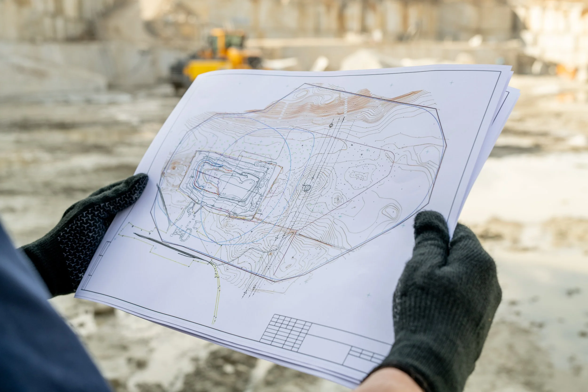
Perform highly accurate topographic, 2D & 3D maps
Visualize, measure, and track changes remotely at all project stages
Save costs by spending less time in the field
Easily export data into CAD or GIS software

Document Jobsites
Create a digital record of the project organized chronologically
Go back in time to check what happened to prevent and solve disputes
Add additional information to your site to gain more insights
Confirm subcontractor work easily and streamline billing

Excavation & stockpiles
Measure how much dirt has been moved and manage billing accordingly
Calculate cut-and-fill volumes precisely and reduce the margin of error
Perform accurate haul cost estimates
Quickly share progress with team and customers
What is Drone Mapping & Why Does It Matter?
If you're new to drone mapping, you're not alone—and you're in the right place. At Sightline Aerial Co., we use advanced drones to capture high-resolution imagery and data from above, turning it into powerful tools like 2D maps, 3D models, and visual progress reports. While drone mapping is often associated with land surveying, its benefits go far beyond that.

Have a project in mind?
Let me know how I can help! Whether you’re looking to map a site, document progress, or capture stunning visuals, fill out the form below and I will get back to you as soon as possible.
Thank you for considering Sightline Aerial Co.